")
")
")
")
Core Technology Breakdown
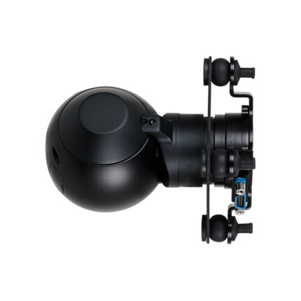
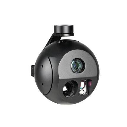
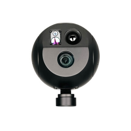
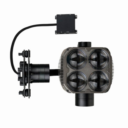
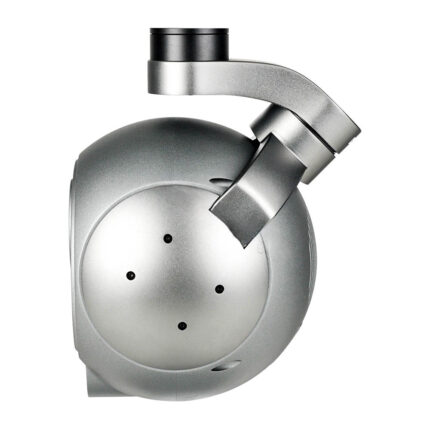
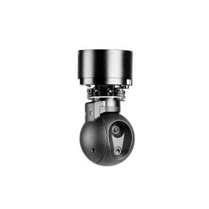
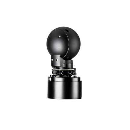
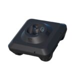
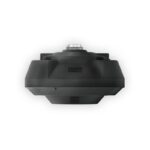
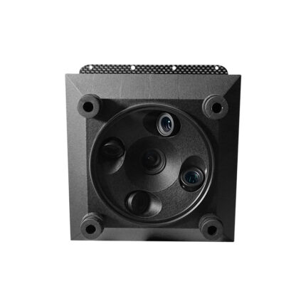
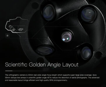
Scientific Golden Angle Layout
- Orthographic Lens – Ensures wide-angle coverage for top-down imagery.
- Four Oblique Lenses – Minimizes distortion for accurate 3D reconstruction.
- Optimized for SFM (Structure-from-Motion) Photogrammetry – Improves stitching and modeling accuracy.
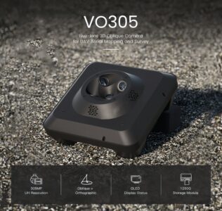
Ultra-High Resolution Imaging (305MP)
- Industry-Leading Pixel Density
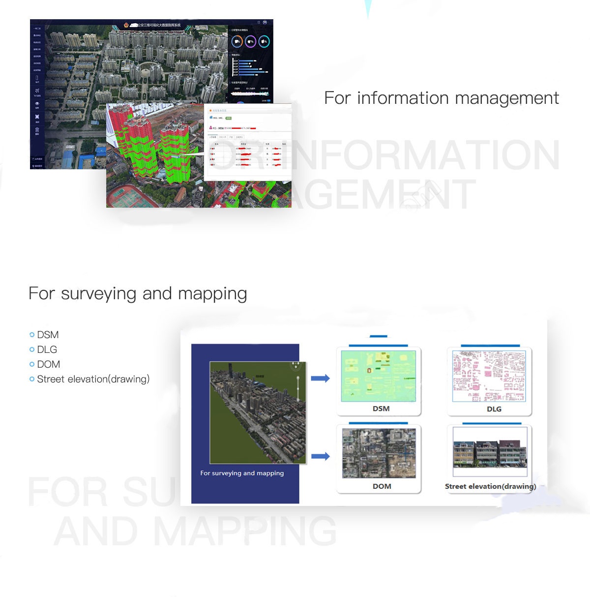
- Cadastral Surveying
- Urban Planning
- Disaster Assessment
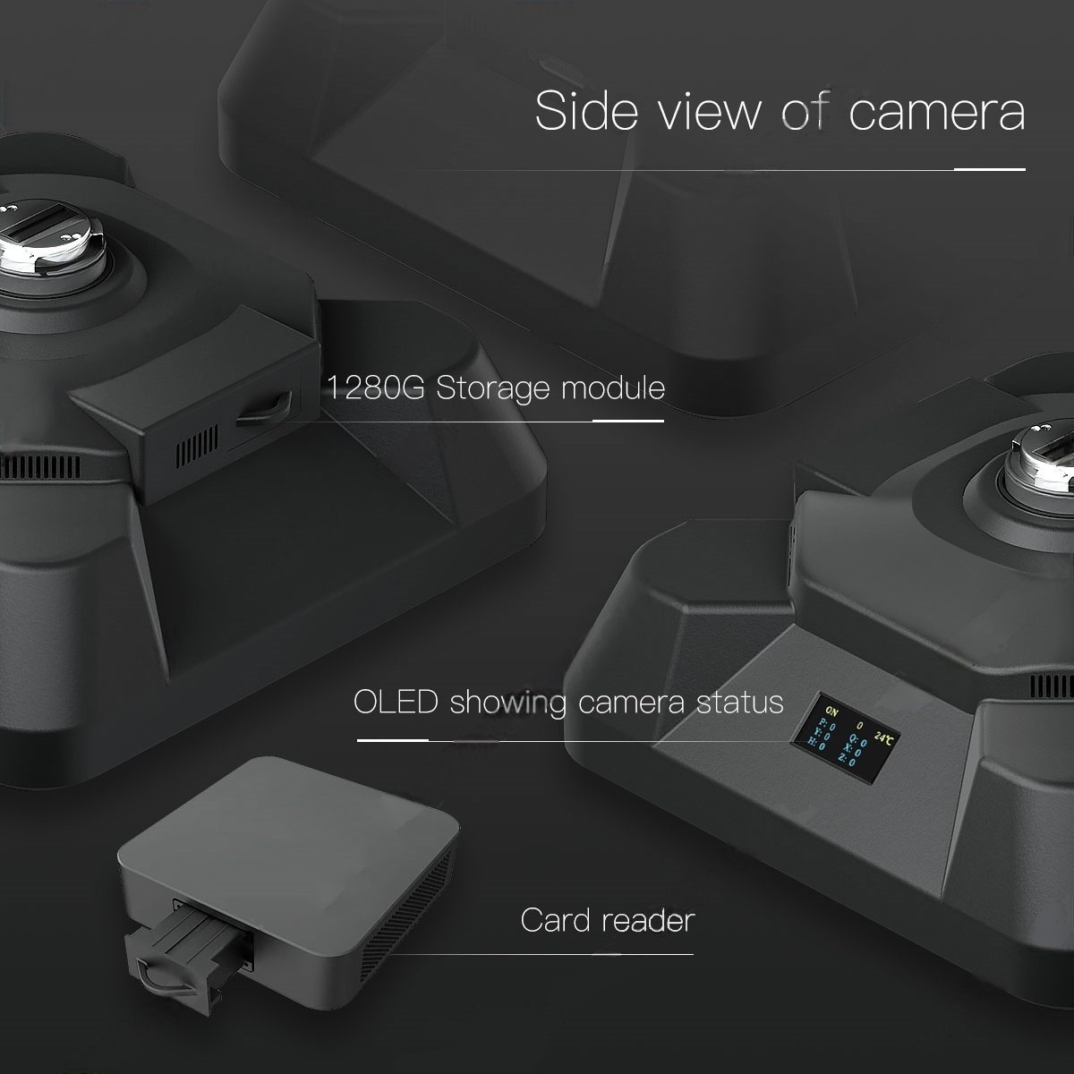
Storage & Workflow Efficiency
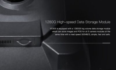
- 1280GB High-Speed SSD – Stores thousands of high-res images without mid-flight swaps.
- OLED Real-Time Monitoring – Displays battery, storage, GPS sync status.
Comparison Table:
| Feature | M305 | Competitor A |
|---|---|---|
| Resolution | 305MP (5 lenses) | 150MP (3 lenses) |
| Distortion Control | Golden Angle 45° | Basic 30° offset |
| Storage | 1280GB Built-in SSD | Requires external HDD |
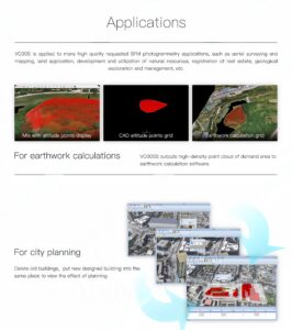
Applications
Smart City & Urban Development
- 3D City Modeling – Precise building facades, road networks, utility mapping.
Energy & Infrastructure
- Power Line Corridor Surveying – Oblique angles catch tower defects not visible from top-down.
- Solar Farm Inspection – High-res thermal overlay option available.
Environmental & Agriculture
- Forestry Management – Tree height estimation, canopy density analysis.
- Flood Risk Mapping – Accurate elevation models for waterflow prediction.
Integration & Compatibility
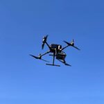
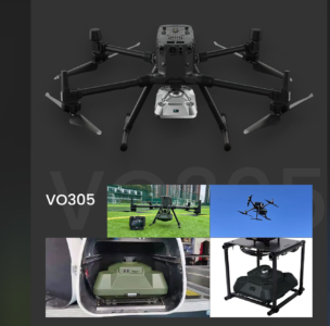
- Works with China Moneypro’s VTOL & Fixed-Wing UAVs (Plug-and-Play)
- Output Formats – GeoTIFF, LAS/LAZ for LiDAR fusion, OBJ/3DML for GIS systems.
- Compatible Software – Pix4D, Agisoft Metashape, DroneDeploy, Global Mapper.
Why Choose M305?
- China Moneypro’s Carbon Fiber UAVs – Lightweight, long-endurance flight.
- Moneypro’s Imaging Expertise – 100+ gimbal models guarantee stability.
- Fast Shenzhen Shipping – Global logistics from China’s drone hub.
China-Moneypro-M305-UH-Definition-3D-Oblique-Camera-UAV-Aerial-Mapping-Download