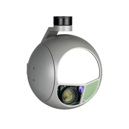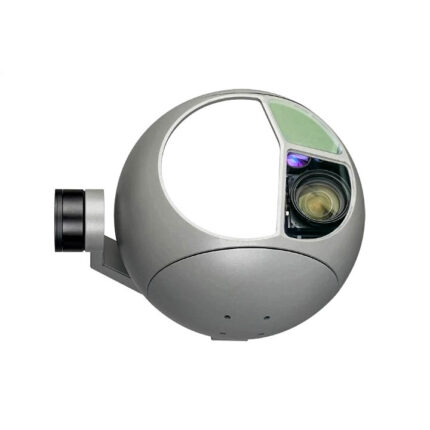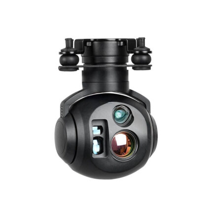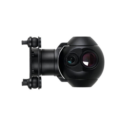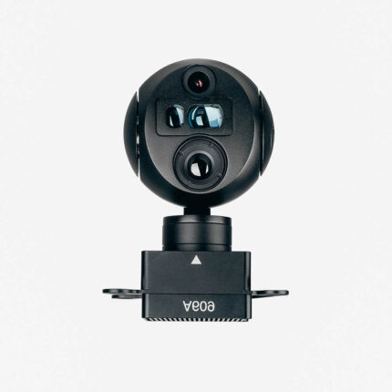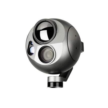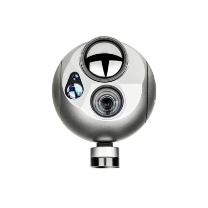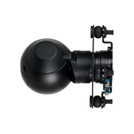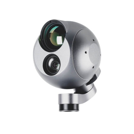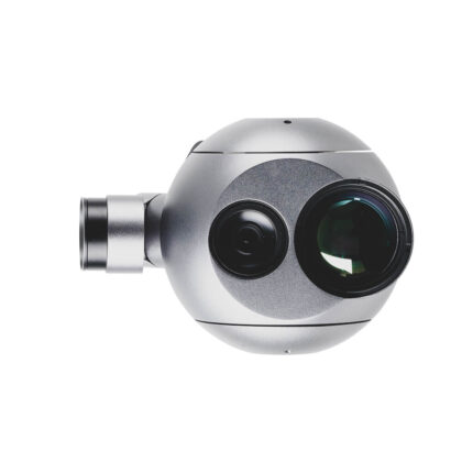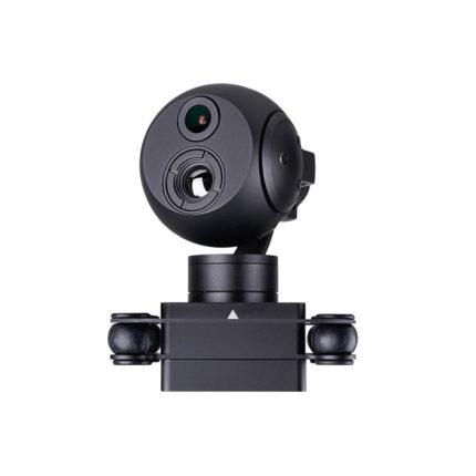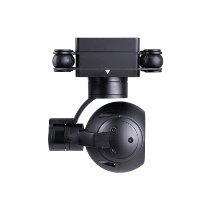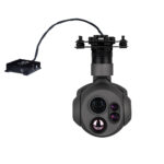
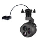
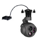
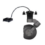
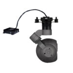
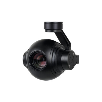
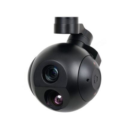
Key Features
Dual-Sensor Fusion:
- Laser Rangefinder (LRF) – Measures exact distance to target.
- Thermal Camera – Detects heat signatures day/night .
GPS Coordinate Resolving:
- Auto-calculates target’s Lat/Long using UAV’s GNSS + LRF data.
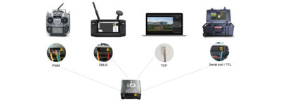
- Output via Serial/TTL, SBUS, TCP, or PWM for integration with autopilots .
Multi-Protocol Control:
- Supports SBUS, PWM, Serial (RX/TX), Ethernet for flexible command from GCS/RC.
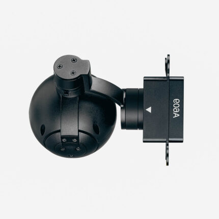
Ruggedized Design:
- IP-rated housing (dust/water-resistant) for firefighting & harsh environments.
Applications:
- Firefighting – Locate hotspots & trapped victims.
- Police/Security – Suspect tracking & evidence geo-tagging.
- Search & Rescue – Pinpoint coordinates for rescue teams.
How It Works ?
- Detect – Thermal camera identifies object/person.
- Range – LRF measures exact distance.
- Resolve – UAV’s GNSS + LRF data calculates target’s GPS coordinates.
- Output – Coordinates sent to GCS via SBUS/Serial/TCP for real-time mapping.
Use Cases
🔥 Firefighting
- Thermal imaging locates survivors in smoke.
- LRF marks fire hotspots for water-bombing drones.
🚔 Police & Law Enforcement
- Track suspects and tag evidence locations for forensics.
🆘 Search & Rescue
- Geo-tag stranded hikers in forests/mountains.
Military/Defense (Optional Section)
- Border surveillance – Intruder coordinates relayed to command centers.
Why Choose M10TIRM?
🔹 All-in-One Solution – No extra payloads needed (LRF + thermal + GPS resolver).
🔹 Plug-and-Play – Compatible with China Moneypro drones (VTOL/fixed-wing/multirotor).
🔹 Low Latency – Coordinates update in real-time (<1 sec delay).
🔹 Backed by Moneypro’s Expertise – Leveraging China’s #1 drone gimbal tech.