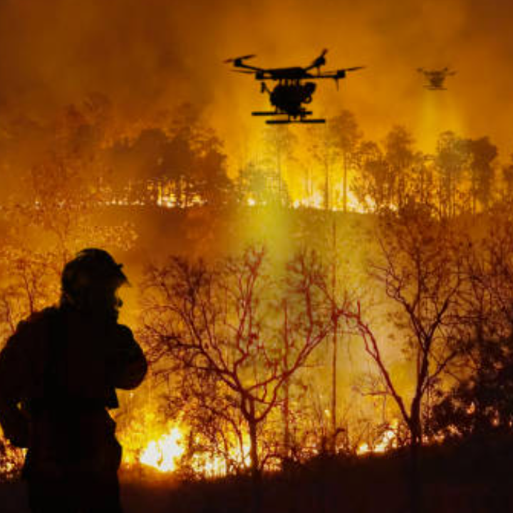
Product Overview
Critical Fire Monitoring Features
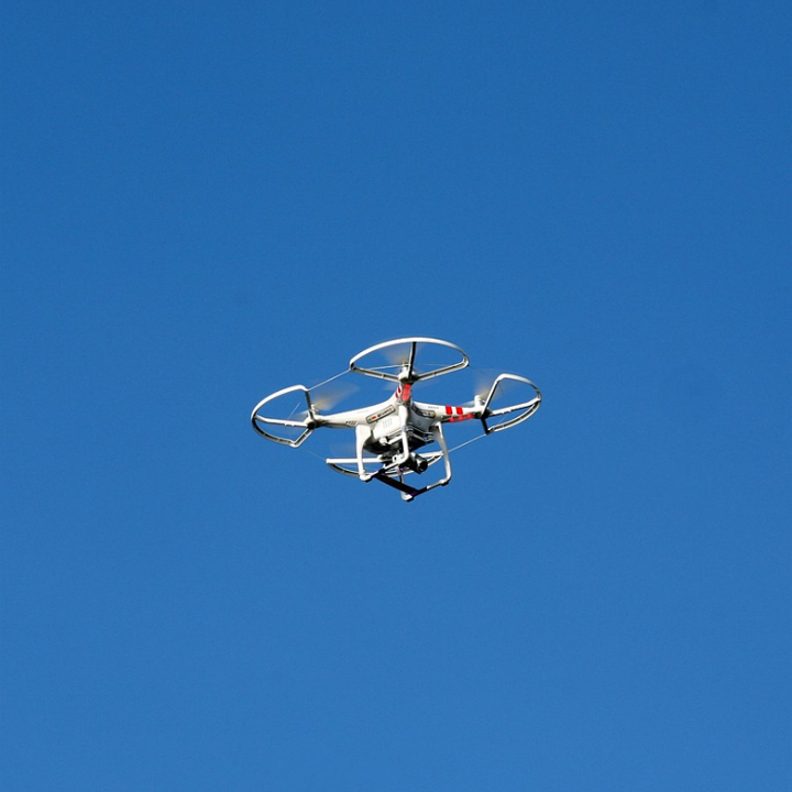
- Multi-Spectral Imaging – 640×512px radiometric thermal + 4K zoom visual
- AI Flame Recognition – Auto-classifies fire types (ground/forest/structural)
- Gas Detection Payload – Identifies CO/CH4/H2S leaks in industrial fires
- Night & Smoke Penetration – SWIR cameras for low-visibility conditions
Operational Specifications
| Parameter | Specification |
|---|---|
| Flight Duration | 42 mins (55 mins without payload) |
| Live Transmission | 15km HD video feed (encrypted) |
| Wind Resistance | 12 m/s (43 km/h) |
| Max Service Altitude | 6,000m (high-mountain firefighting) |
Next-Gen Fire Tech
Predictive Fire Analytics
- Spread Simulation – Integrates with weather data for 30-min advance projections
- Resource Allocation AI – Recommends optimal firebreak/dropping points
- Evacuation Route Planning – Updates safe paths in real-time
Extreme Environment Adaptation
- Heat-Resistant Shell – Withstands 150°C for 8 mins (brushfire penetration)
- Waterproof IP55 – Operates in rain/snow conditions
- EMI-Shielded Electronics – For high-voltage fire zones
Key Market Applications
Wildfire Management
- Early detection (<5m flames at 3km distance)
- Perimeter monitoring & hotspot tracking
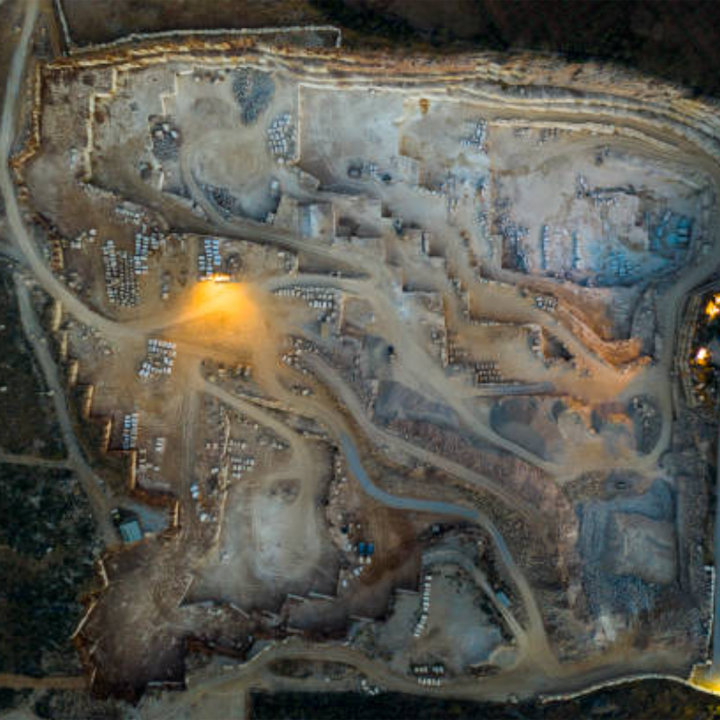
- Post-fire damage assessment
Urban/Industrial Firefighting
- High-rise window thermal scans for trapped victims
- Chemical plant gas leak mapping
- Underground fire inspection via downward ultrasonic
Disaster Response
- Earthquake/explosion aftermath assessment
- Flood-zone electrical fire warnings
Deployment Advantages
✔ 4x Faster Recon vs. helicopter crews
✔ 24/7 Operation – Automated patrol modes
✔ Zero Risk to human firefighters in toxic/radiant zones
Proven Deployments
California Forestry Service
- 11,000+ acres monitored daily during fire season
- Early detection saved 300+ homes in 2023
Dubai High-Rise Fire Drill
- Located all 18 “survivors” in under 9 mins
- Identified 5 structural weak points via thermal stress analysis
Technical Specs
- Payloads: Laser gas detector (optional), loudspeaker for evacuation alerts
- Compliance: NFPA 2400, FAA BVLOS waivers pre-configured
- Data Outputs: Fire progression maps, thermal CSV, live GIS integration