Centimeter-Accurate Mapping & Surveying Drones - Moneypro Geospatial Solutions
Revolutionize Topographic Data Collection with RTK-Enabled UAV Systems for Construction, Agriculture, and Infrastructure Development.
Turnkey Solutions for Every Survey Scenario
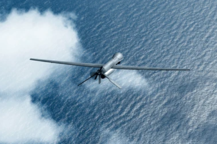
High-Altitude Fixed Wing (Large-Scale Mapping)
Model: MP-TopoSwan | Flight time: 180 mins | Coverage: 15 km²/sortie
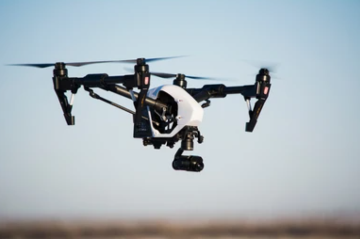
Payloads: PhaseOne 100MP camera + Livox LiDAR (1,000,000 pts/sec)Multi-Rotor UAV (Detail-Oriented Surveys)
Model: MP-QuadMapper Pro | Accuracy: 2.5cm RTK | Max payload: 2.2kg
Modules: Topographic bundle with D-RTK 2 base stationBundled Sensor Systems:Agricultural Package: Parrot Sequoia+ + NDVI analyzerConstruction Package: Dust-proof oblique camera + AI progress tracking
Model: MP-TopoSwan | Flight time: 180 mins | Coverage: 15 km²/sortie
Payloads: PhaseOne 100MP camera + Livox LiDAR (1,000,000 pts/sec)Multi-Rotor UAV (Detail-Oriented Surveys)
Model: MP-QuadMapper Pro | Accuracy: 2.5cm RTK | Max payload: 2.2kg
Modules: Topographic bundle with D-RTK 2 base stationBundled Sensor Systems:Agricultural Package: Parrot Sequoia+ + NDVI analyzerConstruction Package: Dust-proof oblique camera + AI progress tracking
Transforming Geospatial Workflows Across Sectors
Infrastructure Construction
Challenge: Manual surveying delays critical earthwork
Moneypro Solution: MP-TopoSwan generates cut/fill calculations within 2 hours → 5x faster approval cyclesPrecision Agriculture
Challenge: Inefficient fertilizer application raising costs
Moneypro Solution: MP-QuadMapper Pro + NDVI identifies crop stress zones → optimize 27% input savingsUrban Planning
Challenge: Outdated 2D CAD maps slowing development
Moneypro Solution: LiDAR point clouds create millimeter-accurate 3D city models → accelerate permit approvals
Engineered for Sub-3cm Absolute Accuracy
- RTK/PPK Integration: GNSS modules with 1Hz-10Hz update rates eliminate ground control point requirements.
- Multi-Sensor Synchronization: LiDAR, 42MP cameras, and multispectral sensors time-stamped to microsecond precision.
- Smart Flight Modes: Autonomous corridor mapping, crosshatch terrain scanning, and oblique photogrammetry.
- Real-Time Correction: Onboard IMU compensates for wind drift at 60km/h flight speeds.