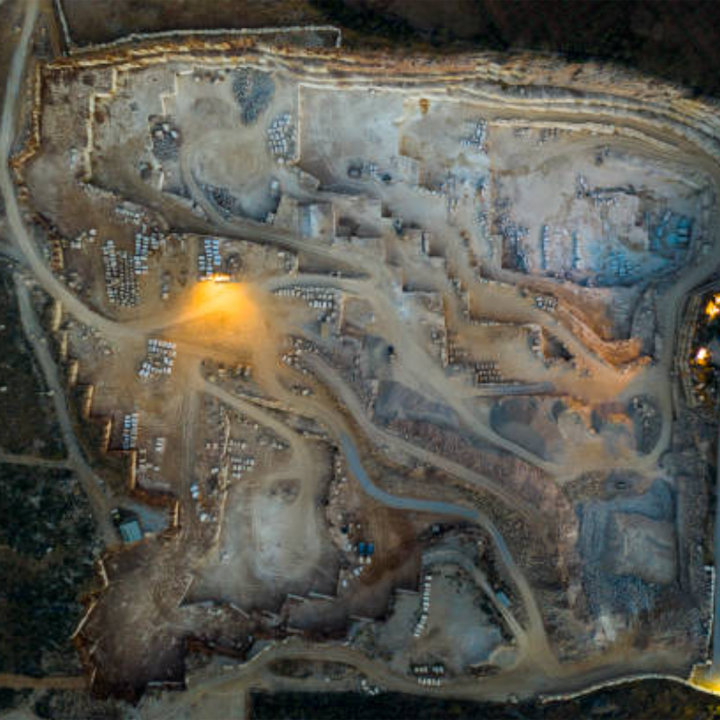
Core Survey Capabilities
High-Precision Measurement Systems
- Micro-vibration Detection: 0.01mm resolution ground movement
- 3D Topography Mapping: Lidar with 5cm point cloud density
- Subsurface Imaging: Ground-penetrating radar (50m depth)
Performance Specifications
| Parameter | Specification |
|---|---|
| Payload Capacity | 5kg sensor suite |
| Flight Duration | 35-50 minutes |
| Operating Range | 15km (radio link) |
| Positioning Accuracy | RTK-GNSS (10mm) |
Innovative Technologies
AI Seismic Analysis
- Automated fault line identification
- Real-time seismic wave propagation modeling
- Structure-from-motion (SfM) photogrammetry
Advanced Sensing Solutions
- InSAR Integration: Interferometric synthetic aperture radar for crustal deformation
- Multi-spectral Thermal: Identifying geothermal leakage points
- MEMS Accelerometer Array: Portable seismic sensor network deployment
Key Market Applications
Energy Sector
- Oil/gas pipeline route seismic hazard assessment
- Geothermal plant subsurface monitoring
- Offshore platform foundation stability checks
Government & Research
- Earthquake early warning system data collection
- Tectonic plate movement studies
- Post-disaster infrastructure damage evaluation
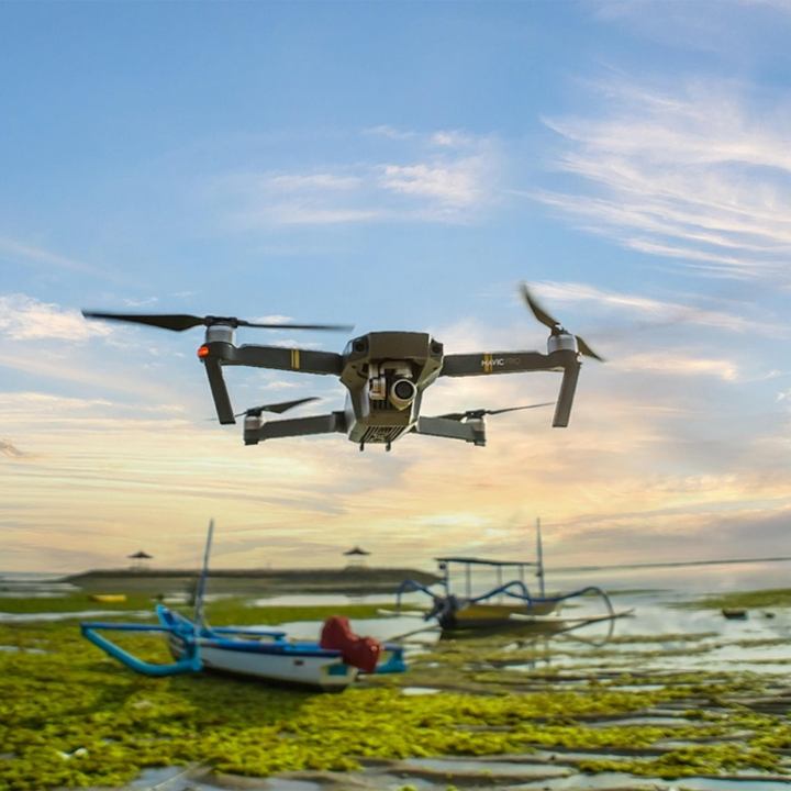
Construction & Mining
- Tunnel/bridge structural health monitoring
- Mine tailing dam stability inspection
- Urban underground space exploration
Operational Advantages
✓ 80% Cost Reduction vs traditional seismic trucks
✓ 5x Data Density compared to ground stations
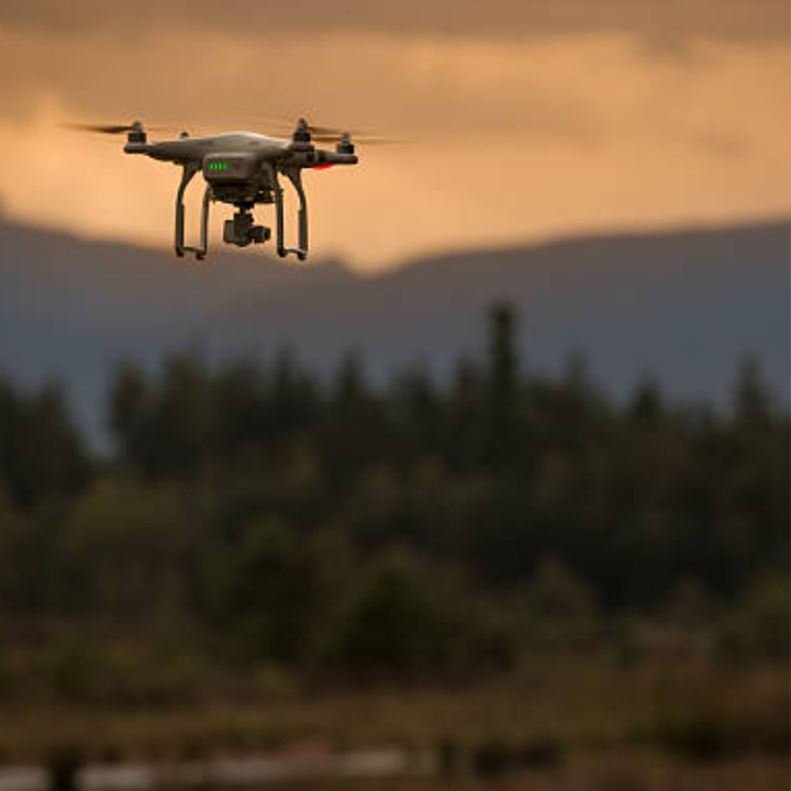
✓ Harsh Environment Operation: -20°C to 50°C range
✓ Rapid Deployment: Full setup in <15 minutes
Technical Specifications
- Airframe: Anti-vibration carbon fiber structure
- Navigation: Triple-redundant IMU system
- Compliance: IFR certified for night operations
- Software: SeismicCloud processing platform