Core Capabilities
Advanced Forest Monitoring
- 3D LiDAR Mapping – High-accuracy tree height/density measurements
- Multispectral Imaging – NDVI/NDRE vegetation health analysis
- Thermal Detection – Early wildfire hotspot identification
Operational Performance
| Parameter | Specification |
|---|---|
| Flight Time | 45-60 minutes |
| Coverage | 200+ hectares per flight |
| Data Accuracy | ±5cm LiDAR precision |
| Payload | 4kg (interchangeable sensors) |
Latest Forestry Technologies
AI-Powered Analytics
- Automated Tree Counting – Species classification via machine learning
- Disease Detection – Identifies pest infestations before visible damage
- Growth Projections – Predicts timber yields using historical data
Innovative Features
- Seed Dispersion Module – Automated reforestation (500+ seeds/flight)
- Bark Beetle Detection – Hyperspectral imaging for early warnings
- Carbon Stock Calculation – Estimates sequestration per forest block
Key Market Applications
Commercial Forestry
- Timber inventory management
- Harvest planning optimization
- Plantation health monitoring
Conservation & Research
- Biodiversity assessments
- Wildlife habitat mapping
- Deforestation tracking
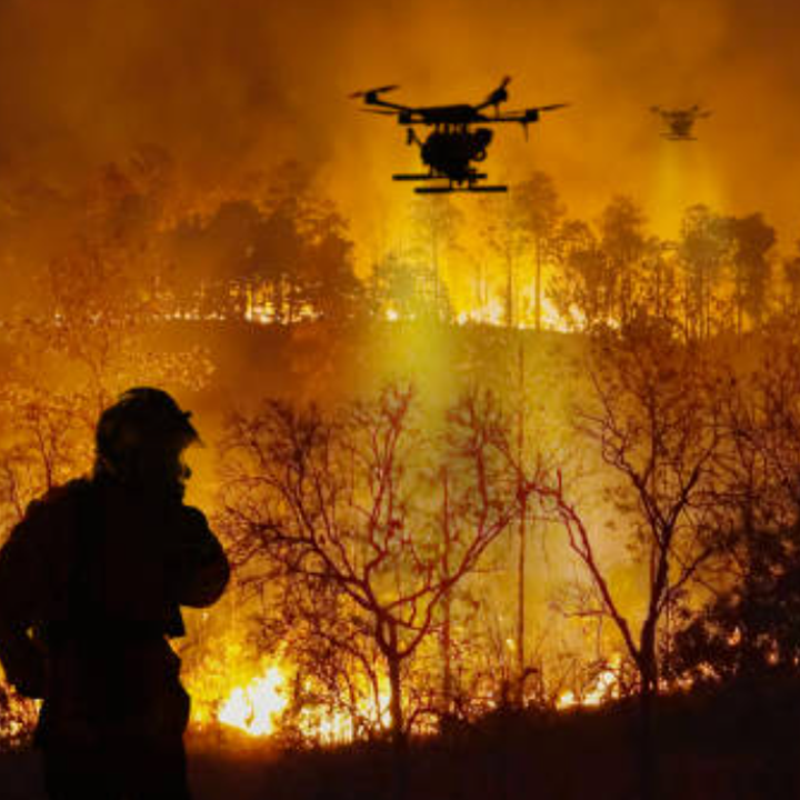
Fire & Risk Management
- Fuel load estimation
- Firebreak planning
- Post-fire damage analysis
Deployment Advantages
✓ 5x Faster than manual surveys
✓ 30% Cost Reduction vs. helicopter monitoring
✓ Real-Time Data for immediate decision making
✓ Sustainable Operations – Low-carbon alternative
Technical Specifications
- Frame: Carbon fiber with moisture-resistant coating
- Navigation: RTK GPS with terrain following
- Compliance: Meets forest industry UAV standards
- Software: Cloud-based forest analytics platform