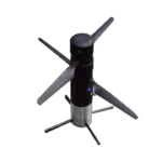
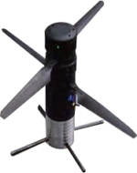
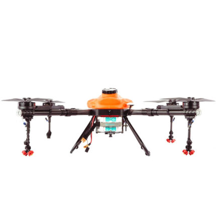
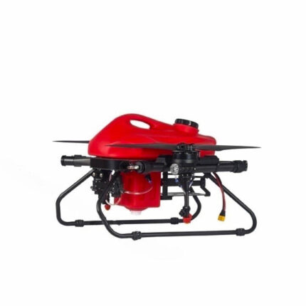
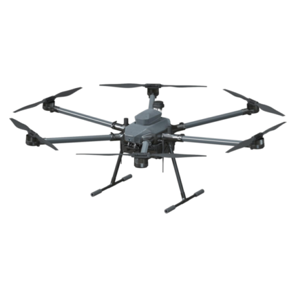
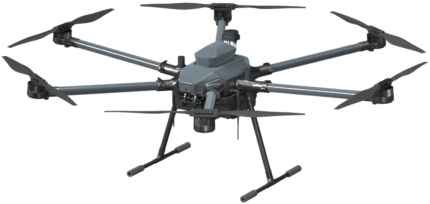
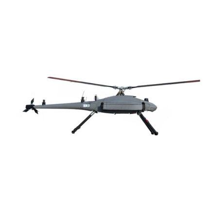
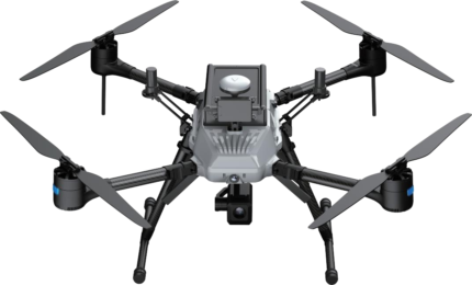
Extreme Portability Engineering
- Fold Mechanics: 84% size reduction (620mm → 100mm width)
- Field-Ready Weight: 2.7kg MTOW exempt from FAA registration
- Quick Assembly: <3min setup with tool-free locking joints
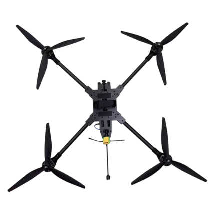
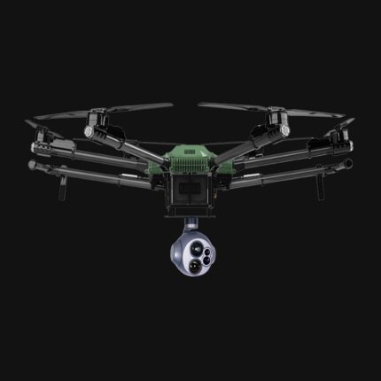
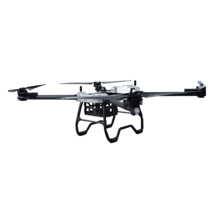
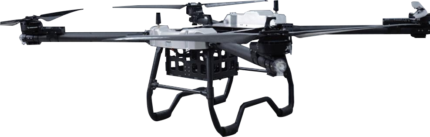
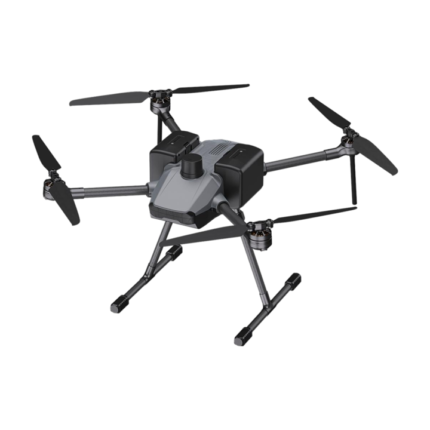
Precision Surveying Capabilities
- Quad-GNSS Navigation: GPS+GLONASS+BeiDou+Galileo positioning
- 1080P Mapping Camera: 2.4mm wide-angle lens + 25fps smooth output
- 2-Axis Gimbal: Active stabilization (-100° to 100° tilt/roll)
Performance Beyond Size
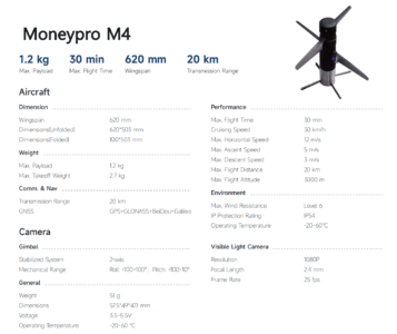
| Parameter |
Spec |
Advantage |
| Endurance |
30min |
Cover 20km per flight |
| Transmission |
20km HD |
Mountain/urban operations |
| Altitude |
3000m |
High-latitude surveys |
| Wind Resist |
Level 6 |
49km/h operational winds |
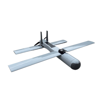
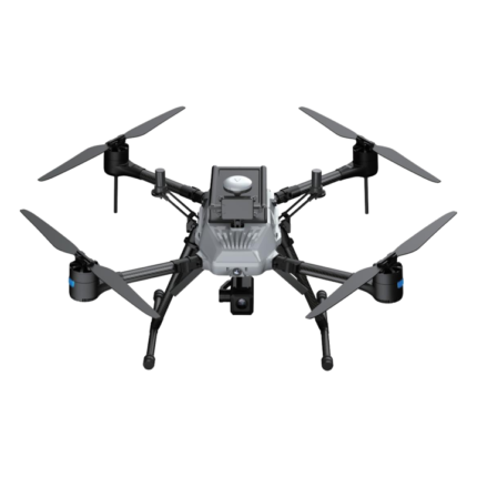
All-Environment Resilience
- IP54 Rated: Dust/moisture protection for coastal/mine surveys
- Thermal Tolerance: -20°C to 60°C (Arctic to desert ready)
- Descent Safety: 3m/s controlled landing in complex terrain
Application-Specific Workflows
- Agriculture: Crop health mapping at 30km/h cruise speed
- Infrastructure: Bridge/pipeline inspections with 5m/s ascent
- Search & Rescue: Live 1080P feed to multiple command centers
- Research: Low-noise wildlife monitoring
Operational Efficiency Calculator
- Cost Per km²: 60% lower than helicopter surveys
- Team Requirements: Single-operator with tablet control
- Data Pipeline: Direct export to GIS platforms
China-Moneypro-M4-Download