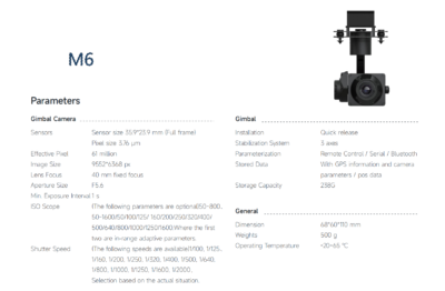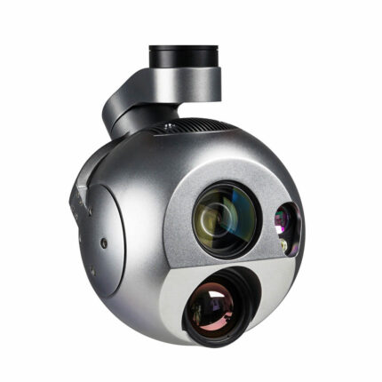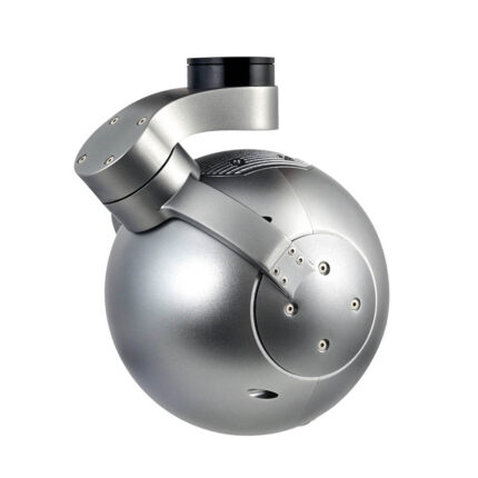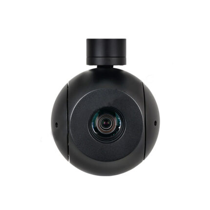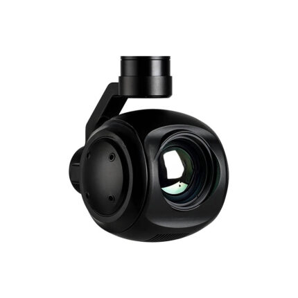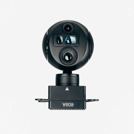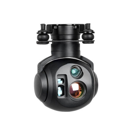
Key Features
- 61MP Full-Frame Sensor (35.9×23.9mm, 3.76µm pixels)
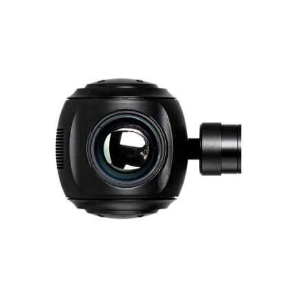
- 40mm Fixed F5.6 Lens – Ideal for detailed surveying/mapping.
- 5-Axis Stabilization – Minimizes vibration/blur in-flight.
- GPS + Metadata Storage – Logs position/camera parameters for GIS integration.
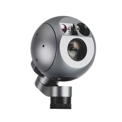
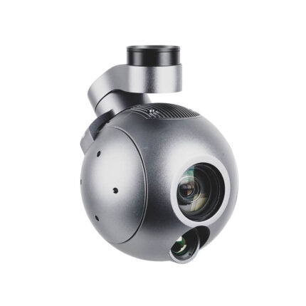
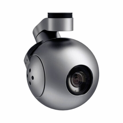
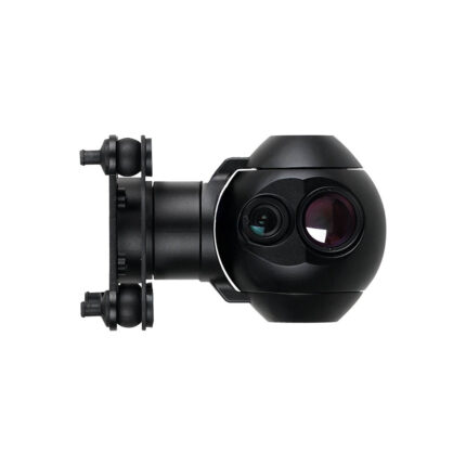
- Compact & Rugged – 500g, operates in -20°C to 65°C.
Technical Specifications
Sensor & Imaging:
- Resolution: 9552×6368 px
- ISO: 50–1600 (adaptive or manual presets)
- Shutter Speed: 1/100–1/2000s (selectable)
- Storage: 238GB embedded (GPS + camera data).
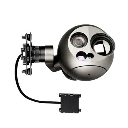
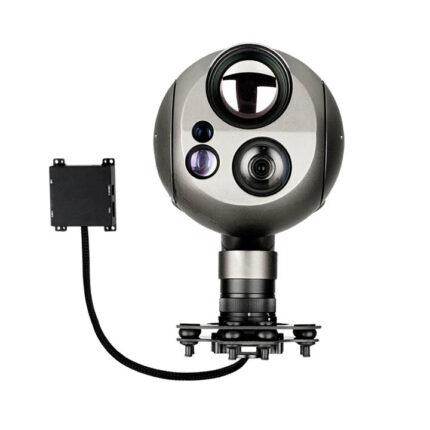
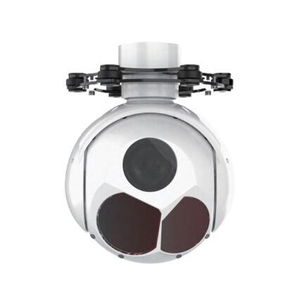
Gimbal & Control:
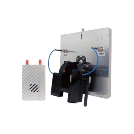
- Stabilization: 5-axis (remote/serial/Bluetooth control).
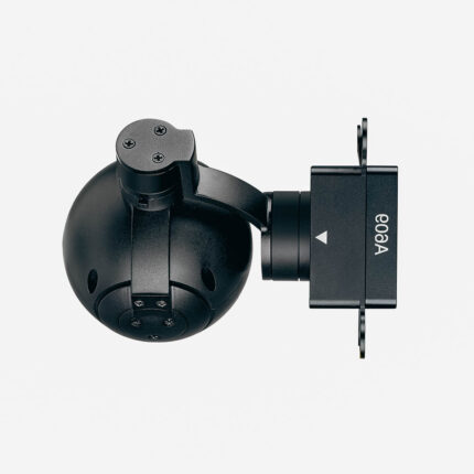
- Quick-Release Mount: Compatible with multirotor/VTOL drones.
Applications
“Perfect for Surveying, Mapping, and Inspection Drones”
- Topographic Mapping: 61MP clarity for centimeter-accurate models.
- Infrastructure Inspections: Bridge, solar farm, or pipeline detail capture.
- NDVI Agriculture: Full-frame sensor for multispectral analysis (optional).
Why Choose the M6?
- Future-Proof Resolution: 61MP outperforms 24–42MP industrial cameras.
- Integrated GPS: Simplifies post-processing for photogrammetry.
- Low-Light Capable: Adaptive ISO reduces noise in shadows.
FAQs
- “Can the M6 be used with hybrid VTOL drones?”
Yes, compatible with any UAV via quick-release mount. - “How to extract GPS metadata?”
Exported via standard GIS software (e.g., Pix4D, AgiSoft).