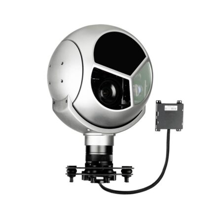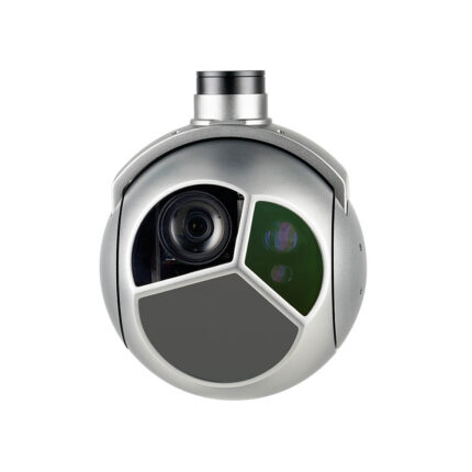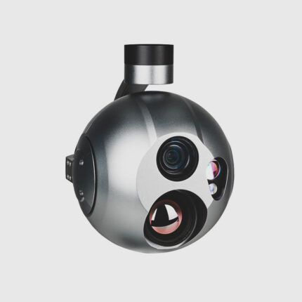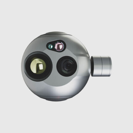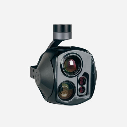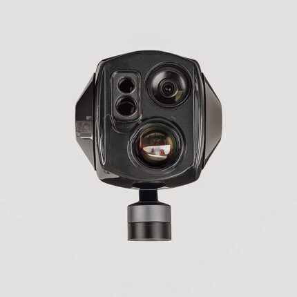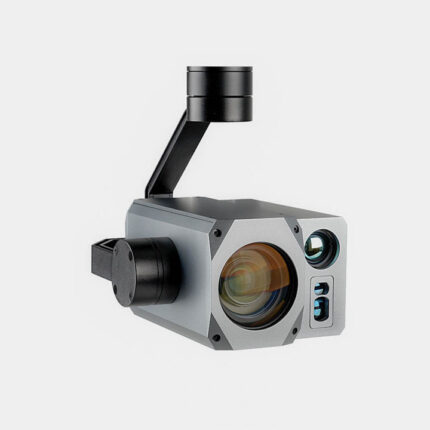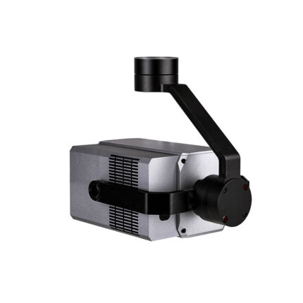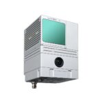
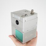
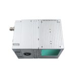
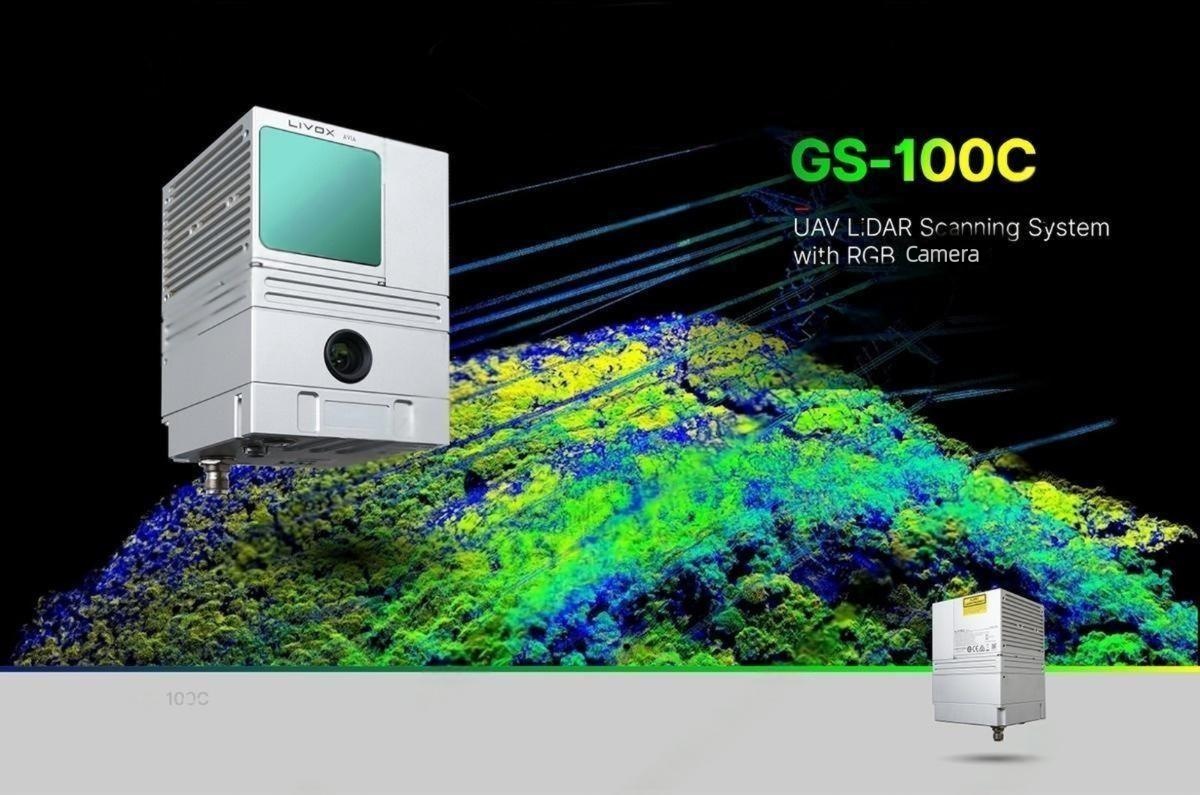
Key Features
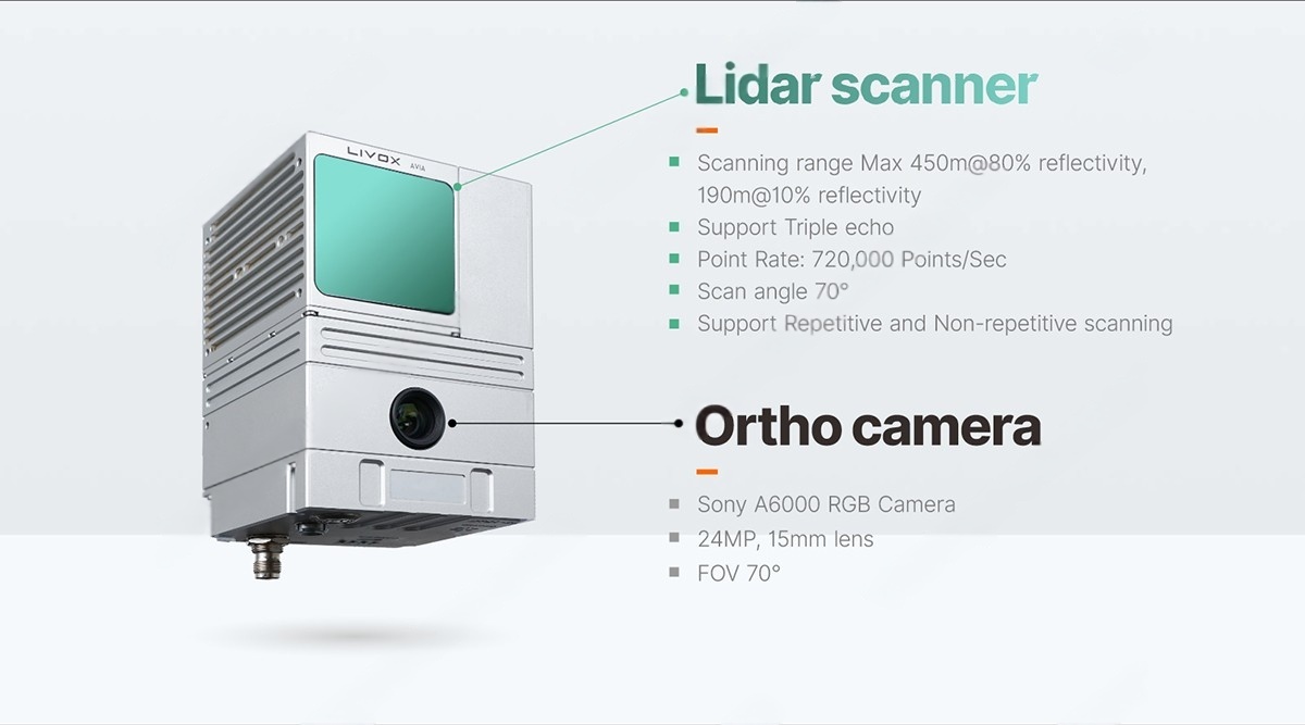
LiDAR Scanner:
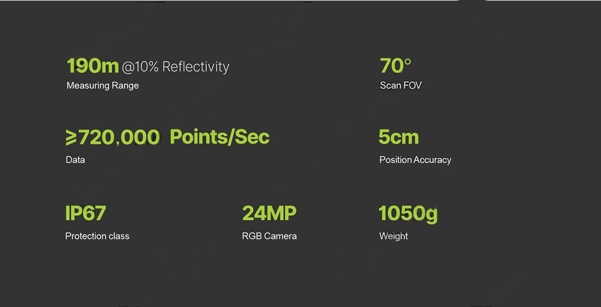
- 720,000 pts/sec | 5cm accuracy | Up to 190m range
- Triple Echo & 70° FOV for dense point clouds even in complex environments
- IP67 Protection – Dustproof, waterproof, and shock-resistant
24MP RGB Camera:
- Sony A6000 with 15mm lens (70° FOV) for high-res orthophotos
- Seamless geotagging with GNSS/IMU synchronization
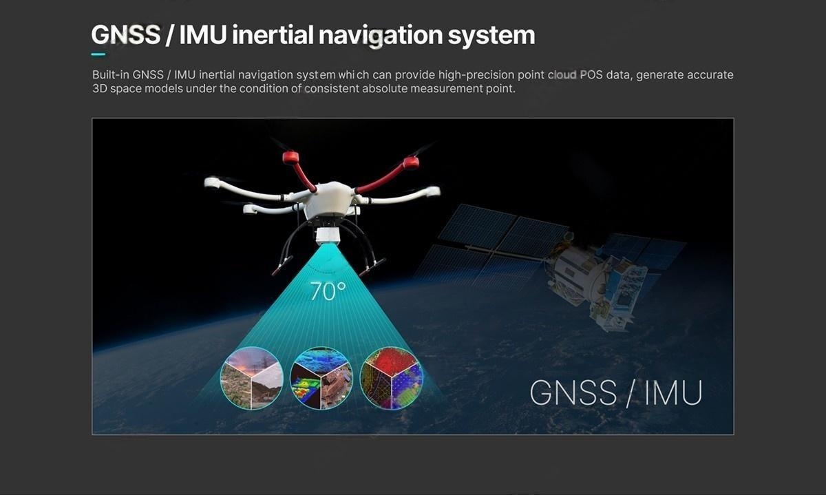
Built-In GNSS/IMU:
- High-precision positioning for absolute accuracy in 3D models
- Supports PPK/RTK corrections
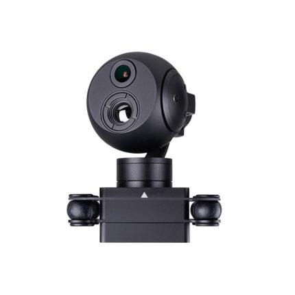
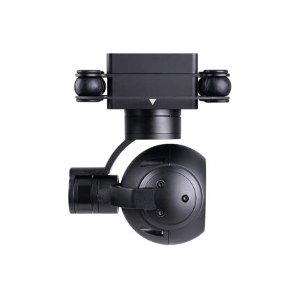
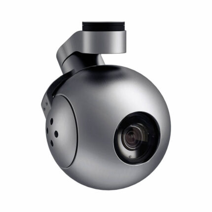
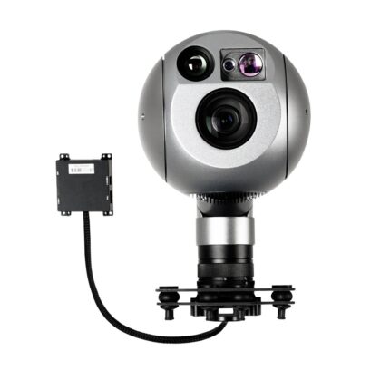
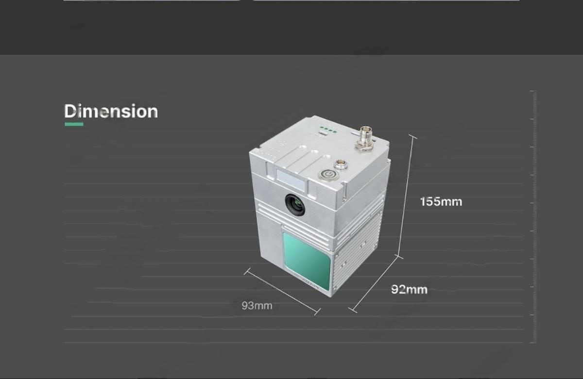
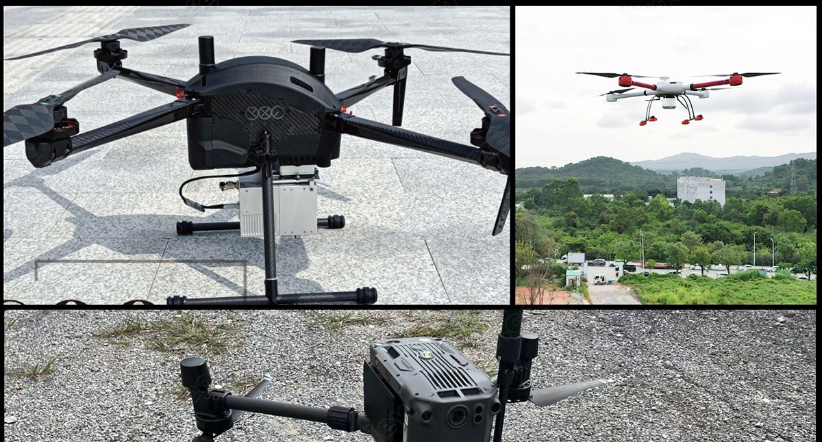
Ultralight & Compact :
- Highly portable, compatible with VTOL, multirotor & hybrid drones
Industry-Proven Applications:
- Land & Topographic Surveying
- Road & Infrastructure Mapping
- Reservoir & Flood Risk Modeling
Technical Specifications
| Parameter | M100C Specs | Industry Average |
|---|---|---|
| LiDAR Points/sec | 720,000 pts/s | 300,000–500,000 pts/s |
| Max Range | 190m (10%) / 450m (80%) | 120m–250m |
| Accuracy | <5cm (50m AGL) | 5–15cm |
| RGB Camera | Sony A6000 (24MP) | 12–20MP |
| Weight | 1050g | 1200–2000g |
| Protection | IP67 | IP54–IP65 |
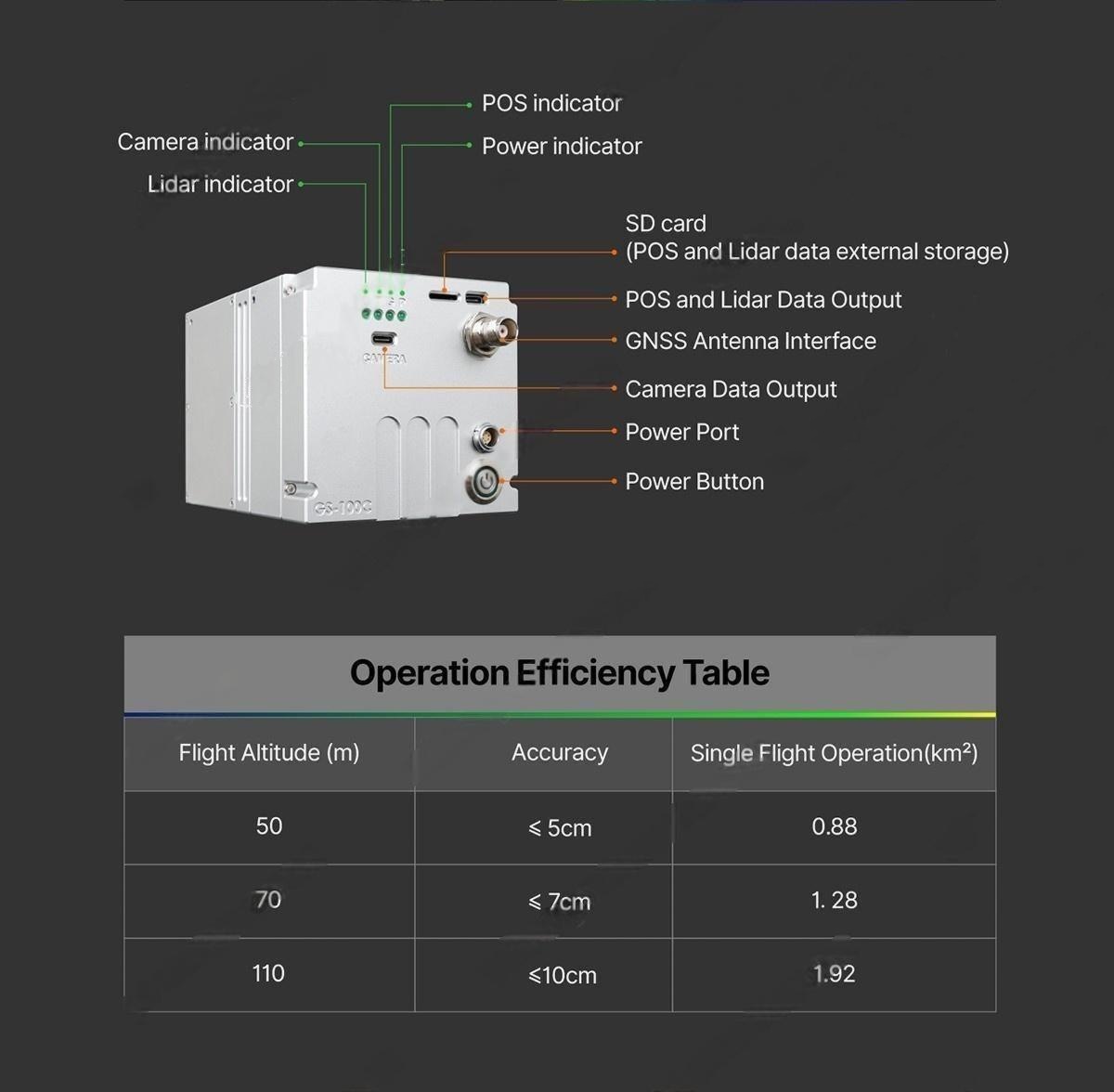
Flight Efficiency:
| Altitude (m) | Accuracy | Area per Flight (km²) |
|---|---|---|
| 50m | <5cm | 0.88 km² |
| 70m | <7cm | 1.28 km² |
| 110m | <10cm | 1.92 km² |
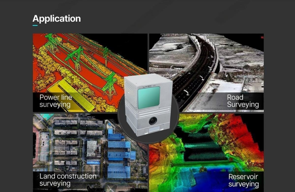
Applications
Powerline & Utility Inspection
- Detect vegetation encroachment before outages occur
- Pole & tower integrity checks with millimeter-level detail
Land Surveying & Cadastral Mapping
- Replace traditional total stations – 5x faster data collection
- Generate digital terrain models (DTM/DSM) for engineering
Construction & Mining
- Volume calculations (stockpile measurements)
- As-built vs. design comparisons
Why Choose M100C Over Competitors?
- Higher productivity
- Meet survey-grade standards
- No extra payloads needed
- Fly longer missions on smaller drones
- Deploy on China Moneypro drones for seamless integration
China-Moneypro-M100C-UAV-Laser-Lidar-Scanning-System-Download